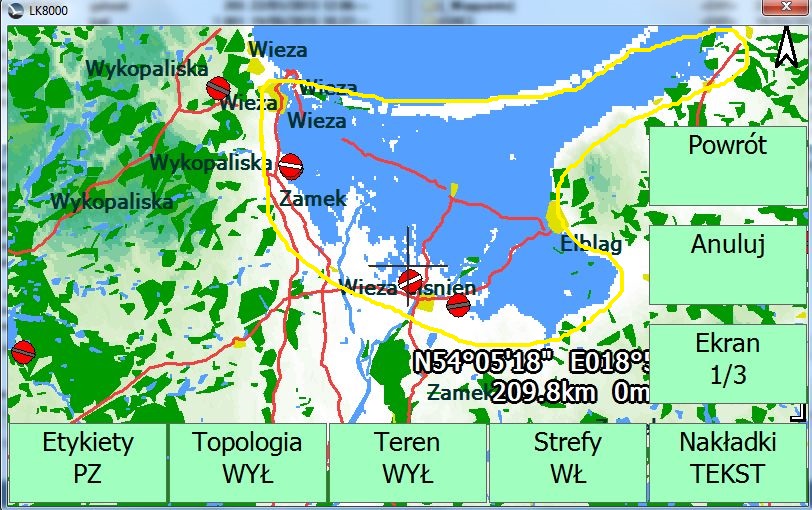
Hello, is there any solution to change configuration of LK8000 to show the area below sea level not in blue color? It's look like a water - but it's not :)
I think it's not the matter of topology but DEM file. LK with original POL.DEM file works fine. But with DEM file generated by LK MAPS - shows blue areas when terrain is below sea level. I suppose that original POL.DEM file shifts area below sea level to zero level.
Since 2006, owned and maintained by PostFrontal S.A.S. di Giuliano Golfieri & c. - VAT ID: IT05264240960 THIS WEBSITE ONLY USES FUNCTIONAL COOKIES Privacy & Cookie Policy